
Monitoring Wells in Marion County
Click well ID to retrieve daily average groundwater levels
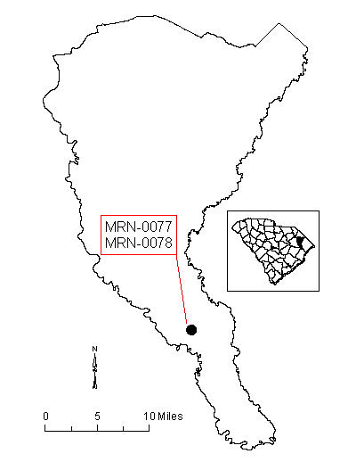
| Well ID | Elevation | Latitude | Longitude | Depth | Aquifer | Status |
|---|---|---|---|---|---|---|
| MRN-0077 | 31.66 | 33 51 42 | 07 91 50 | 356 | Black Creek | Actively monitored continuous ADR site |
| MRN-0078 | 34.63 | 33 51 42 | 07 91 49 | 1038 | Cape Fear | Actively monitored manual site |
| MRN-0178 | 30 | 33 51 42 | 07 91 49 | 40 | Shallow | Actively monitored continuous ADR site |
Status column:
ADR: Water level is continuously measured on an hourly basis.
Manual: Water level is periodically measured on a bi-monthly basis.
Inactive: Water level is not currently monitored.
Abandoned: Well has been permanently abandoned and water levels can no longer be measured.